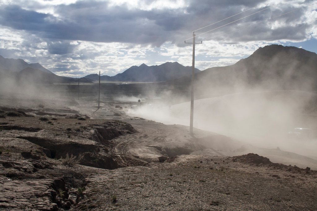
Up Ron & Marjolijn's holiday pictures » 2007-09 Nepal-Tibet » 09-Gyangze Prev Next Slideshow

 Previous image  Next image  Index page  Original Image [09-Dusty landscape.jpg - 838kB]


01-Yarlung Tsangpo river
02-Towards to the Kampa La Pass
03-On the Kampa La Pass
04-On the Kampa La Pass
05-On the Kampa La Pass
06-Yandro Yumtso Lake
07-Sandelwood is ground by waterpower for incense sticks
08-Yarlung Tsangpo river, here small and deep
  09-Dusty landscape.jpg - Dusty landscape  
10-Beautiful sand dunes
11-Harvest
12-Street in Gyangze
13-Cown shit
14-Typical Tibetan windows
15-Local transport
16-The Kumbum Stupa
17-The monastry
18-The Kumbum Stupa
19-Statue in the Stupa
20-Another statue
21-Gyangze fort (to the right) and Kumbum Monastry (left)

Dusty landscape Download Original Image
Latitude: N 29°18'4,19" | Longitude: E 89°18'32,27" | Altitude: 3855 metres | Location: Qoilung | State/Province: Tibet Autonomous Region | Country: China | Copyright: Ron Harkink | See map
Total images: 23 | Help